British Columbia is a province of mountains, the most mountainous province in the country. You may be able to drive in a river valley for a while, but usually to travel any great distance a person has to cross one mountain range or another. On the way to Oliver, we travel though the Similkameen River valley between Princeton and Keremeos on Hwy 3. Not long after our January visit to Oliver, the road was closed just west of Keremeos for a few days due to a rock slide. We were just pleased that we weren't planning a trip that way just then, although we do have the option of taking the Coquihalla (Hwy 5) which is a four lane freeway through the mountains. It's not our route of choice, though, we find Hwy 3 much more interesting.
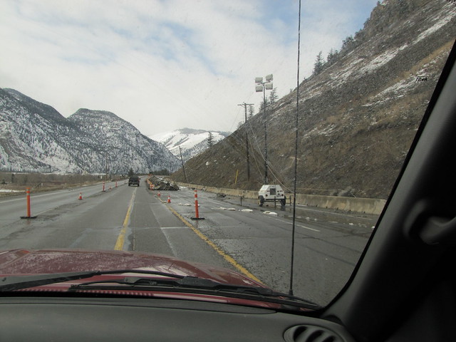
Well wouldn't you know, on our way to Oliver last week, just 20 minutes before we arrived at the rock slide area, some more debris came down, and they closed the highway. To find that out I walked Jake and Luna to the head of the quarter mile lineup, and had some conversation with the flag girl. She said they were going to wait another 15 minutes to see if anything else came down, and then it would take another 15 minutes to clear the road, and then we should be good to go.
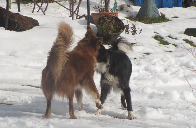
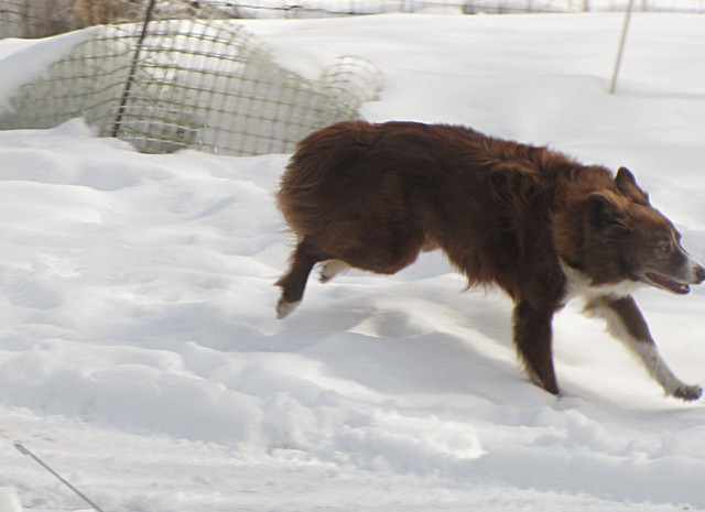
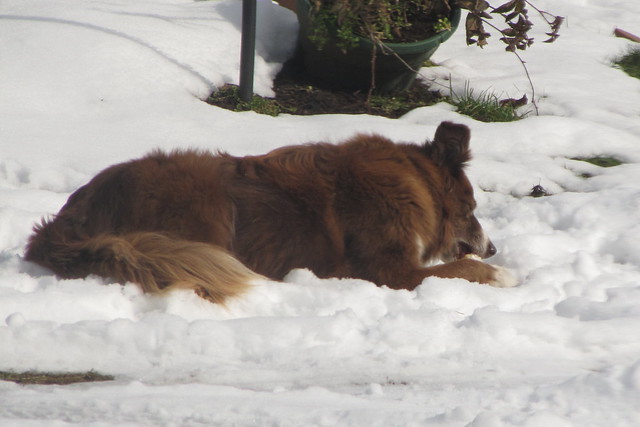
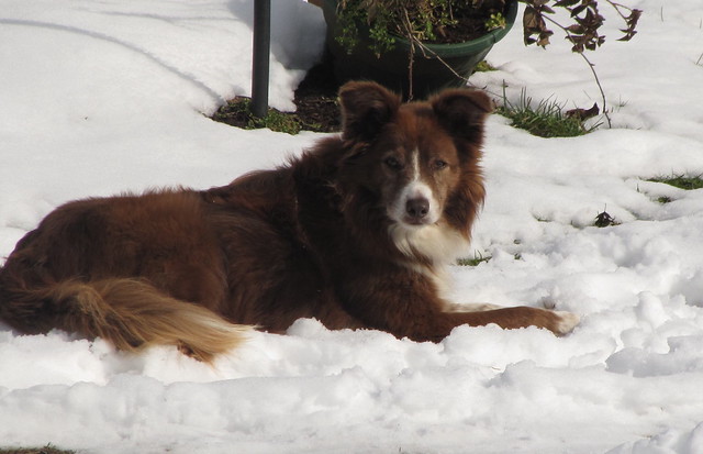
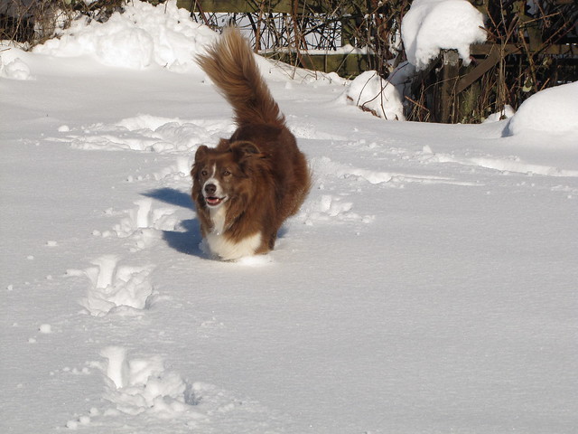
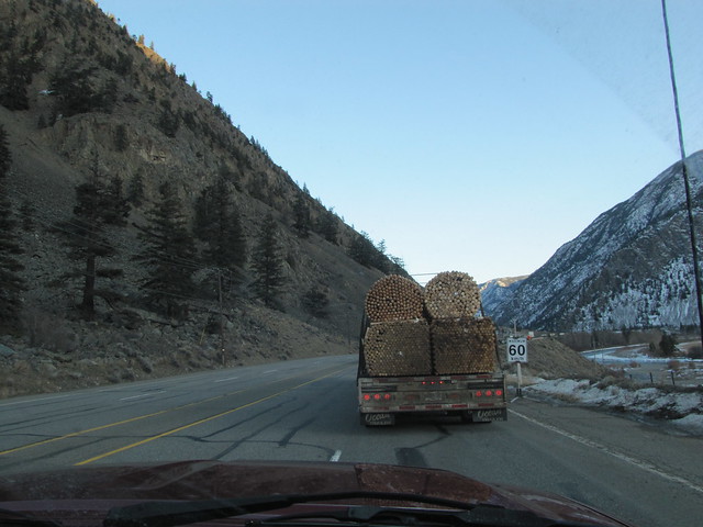
As I walked back along the line-up a few people rolled down their windows and asked me what I knew, and I was glad to be able to fill them in. I had a good conversation with the guy driving the truck carrying the fence posts that was stopped in front of us. He rolled down his window and said what a nice red border collie Jake was.
I got back in the truck and we sat and waited.....and glanced nervously up at the mountain that seemed to rise straight up next to us.
This is the view across the valley to the southwest, with the Similkameen River flowing through the middle.
About 30 feet below the edge of the road was a house and outbuildings.
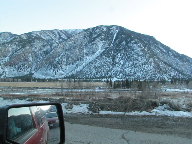
A little while later, a fellow walked along, and we asked him if he had an update. Turns out he was the owner of the house below. He said that now they were saying that it was a 50/50 chance of them NOT re-opening the road. To turn around and take an alternate route was a three hour trip, and where we were stopped was less than an hour from Oliver. There is a gravel road that goes up the mountain and across to a ski area, but considering the time of year, fading daylight, steepness and our lack of four wheel drive, we didn't even consider it. Two people that had done it the first time the road was closed said it was not a pleasant drive. Some people had already turned around. What to do, what to do. Thankfully we made the right decision, and stuck it out, and not long after than they opened the road and away we went. There wasn't much to see, other than sagging power lines, a berm of debris piled in the two westbound lanes, and a generator and some powerful lights.

On the way back yesterday, it looked just the same, but as least we didn't have to stop this time.
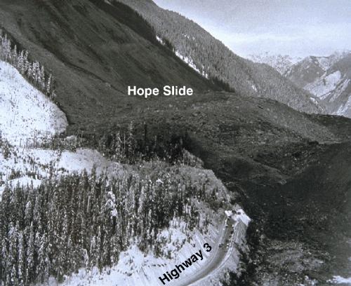
Right near the end of Hwy 3 as we are heading home, we pass/drive over the Hope Slide. It came down in January of 1965, that big snow patch on the mountain is where the whole mountain side slid away. The highway was buried under hundreds of feet of debris. Four people died. Two were never found. The new highway is built on top of the debris field. Nature is very gradually healing the scar.
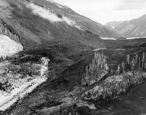
Here are a couple of photos of the slide just after it happened. Looking east. Notice how high the debris is above the highway.
At the east end, looking west.
Most of the time I do think about the slide as we drive through that area, and am glad to be past it. A person just never knows where the next one might come down.
Here's a little more
info about the Hope Slide.

